The
driving notion of Interface002,003, and 004 is to create an object with
uncanny capacities that generates new narrative structures and ways of
understanding the multiplicity of scales present in our milieu. What other
cartographies or ways of navigation could come from such interfaces? What information could they
bring if we are not aiming towards linear and orthographic results? What kind of repository
could they generate if they are collecting data as well as aifdinng to a new kind of erring?
![]()


Interfaz 002 (I002) aims to act as a pitchfork, the needle of a
record player that generates a soundscape and a graphical notation by being
activated. I002 is deployed in public space and uses a piezo microphone
attached to its axis or tails by which it records the vibrations of the top
layers of the city. Such piezo microphone is coupled to a recording device
connected to the user via noise-canceling headphones, generating a closed loop
of information between the sound retrieved by the interface, the city’s
surfaces plus rhythms, and the user's navigation. There is an interesting
hypothesis to test here as these soundscapes have a graphical representation
known as spectrograms which could be read as alternative cartographies of the
rhythms of an environment. These spectrograms could be georeferenced, giving us
a sonic trace not just of the walk but of the rhythms of the top layers of the
built environment. It is yet to be proven, but once there is enough data in the
repository, we could say that certain parts of a city are more ‘rhythmic’ than
the others, based on the type of reverberations it collects, we could know how
controlled their built environment is.


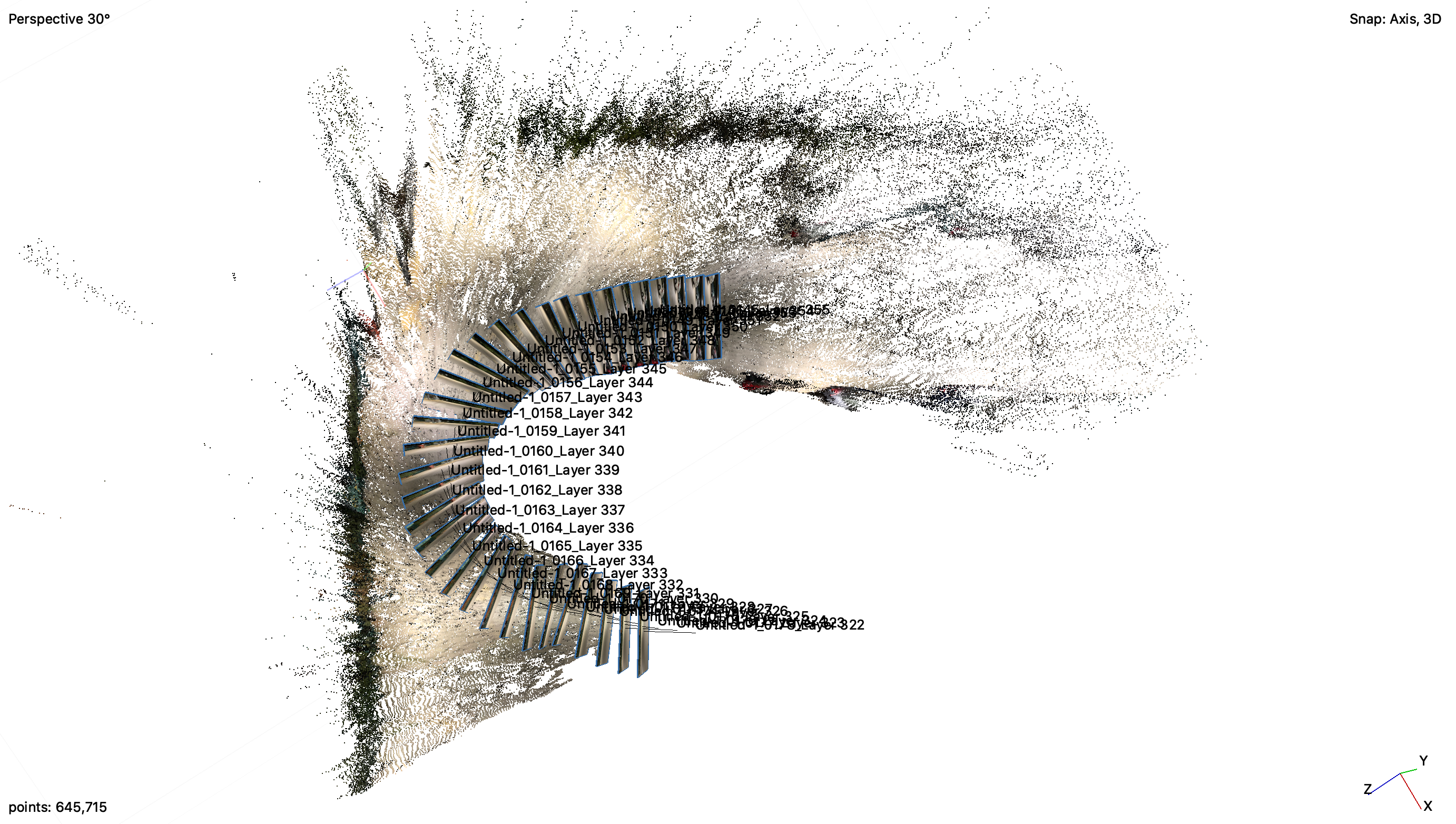
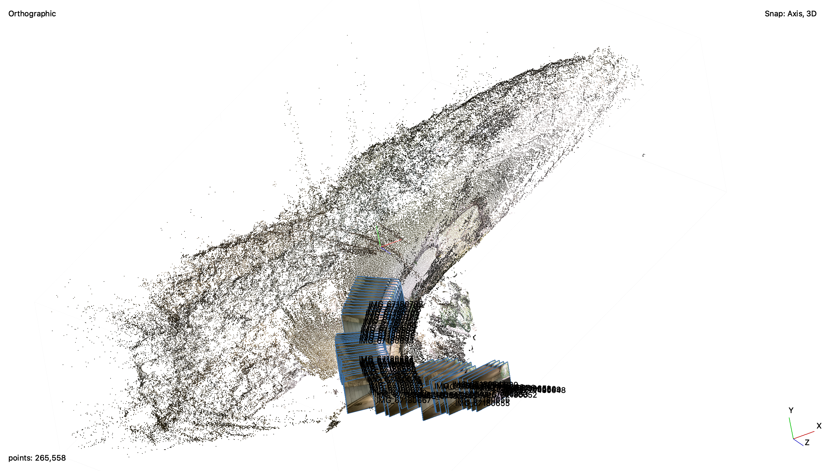
Interfaz003 shares a similar strategy: it translates the movement of the walk through a set of wheels that, when attached, form a differential that provokes simultaneous vertical and horizontal movement. A camera sensor is attached to the top wheel generating a rotating image, emulating measuring devices, and potentially offering a new vantage point of view of such explorations. Interfaz004 aims to digest and mix navigation strategies from other types of knowledge, such as radiesthesia practices.[1] When deployed in public space, the rotating rod points towards water generating a different kind of navigation more related to topography and geology. I004 hence holds a direct relation to how the layers of a city respond to topographical and geological layers, not to mention bringing to attention the invisible presence of water in the environment. By deploying I004, one not only allows oneself to be guided by intuition and belief but also by larger planetary objects (hyperobjects) [2].


[1] Radiesthesia is the ability of an individual to detect radiation coming from objects, animals or geographical elements. The subjects act both as antenna and sensor for such radiations and makes use of a variety of instruments to do so. [2] Morton, Timothy. Hyperobjects: Philosophy and Ecology after the End of the World. Minneapolis: University of Minnesota Press, 2017.